Specialised Services
Specialized Services
A thorough survey is essential for assessing the overall health of structures. Our experts conduct detailed inspections, including Infra Red Thermography (IRT), Underwater, Post-fire, Lidar survey and Aerial assessments to identify existing damage, deterioration, and potential hazards. These surveys provide a baseline to build hypothesis for further testing, analysis & developing effective repair, retrofitting or strengthening solutions.
Infrared Thermography’s (IRT): ability to detect and pinpoint anomalies in the early stages of degradation plays a crucial role in enhancing the safety and reliability of civil infrastructure, while also reducing maintenance and rehabilitation costs.
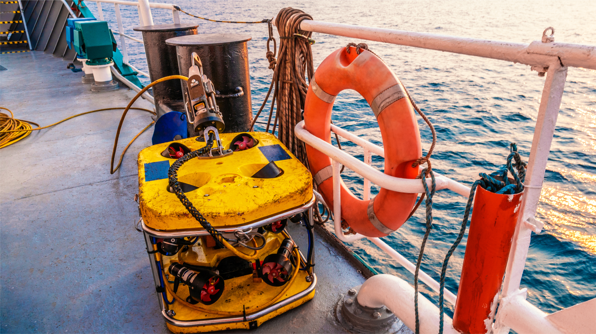
Underwater: BuildAid excels in assessing the impact of underwater environments of submerged structures. We employ cutting edge technology to identify and quantify structural distresses, to overcome the challenges of physical examination. Our understanding of factors like construction defects, scouring, chemical, biological effects, freeze-thaw effects and wave action allows us to develop effective mitigation strategies.
Post-fire: Fires can cause catastrophic damage to structures. Our comprehensive post-fire audits evaluate the extent of fire impact, considering factors like ventilation, combustible materials, fire duration, temperatures, and construction materials. Advanced concrete tomography provides insights into internal damage, ensuring accurate assessments and effective reinstatement solutions.
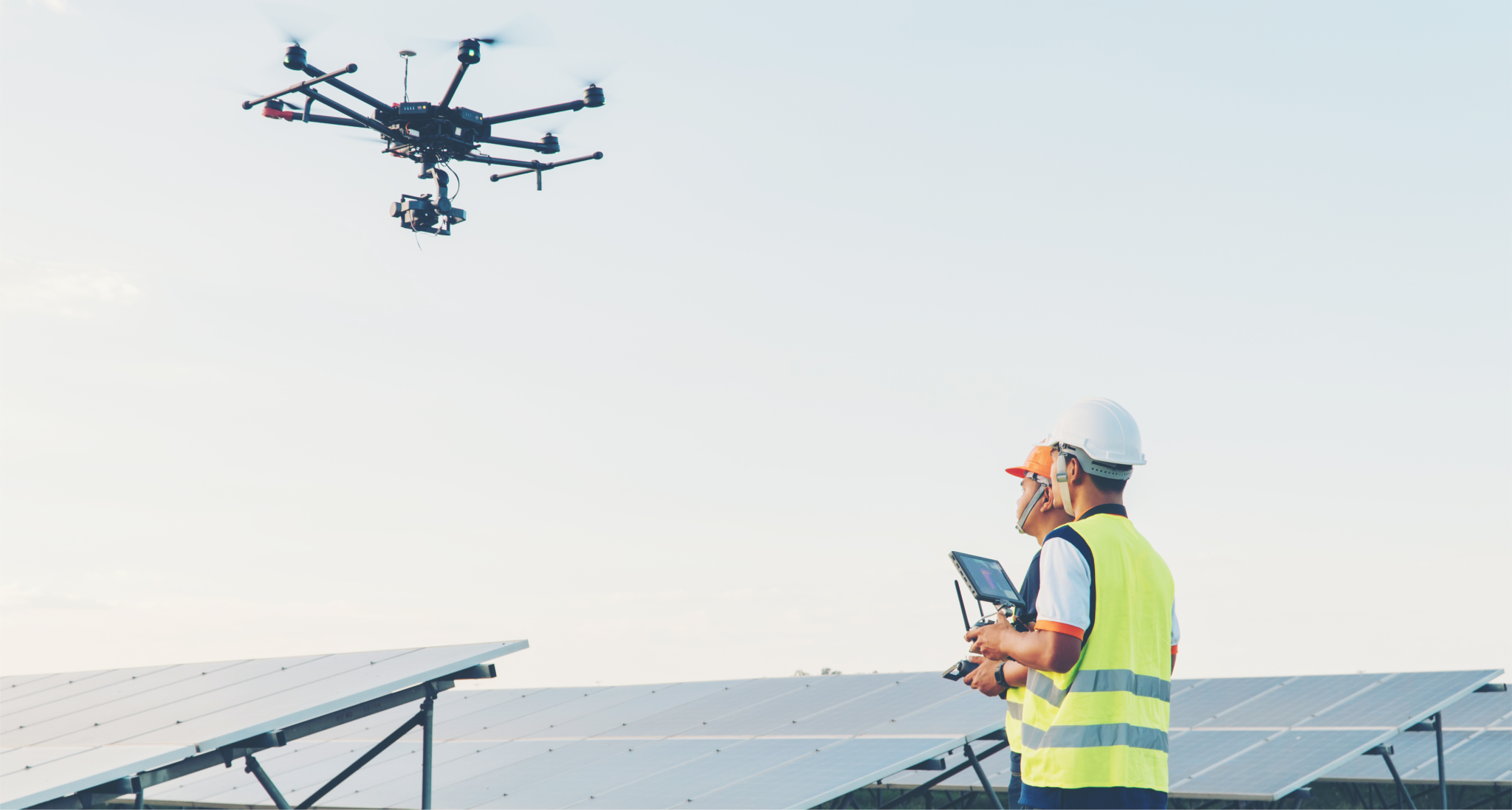
Aerial: BuildAid harnesses the power of AI and drone technology to conduct efficient and precise aerial surveys. Our automated quantification of distresses from various angles accelerates diagnosis and delivers reliable results. This technology is applicable both indoors and outdoors.
LiDAR Survey (Light Detection And Ranging) : Among the modern systems is the use of laser pulses to create high-resolution 3D maps of terrain and structures. This enables precise topographic analysis, even through dense vegetation or challenging environments. This is ideal for infrastructure planning, flood modeling, and environmental assessments.